
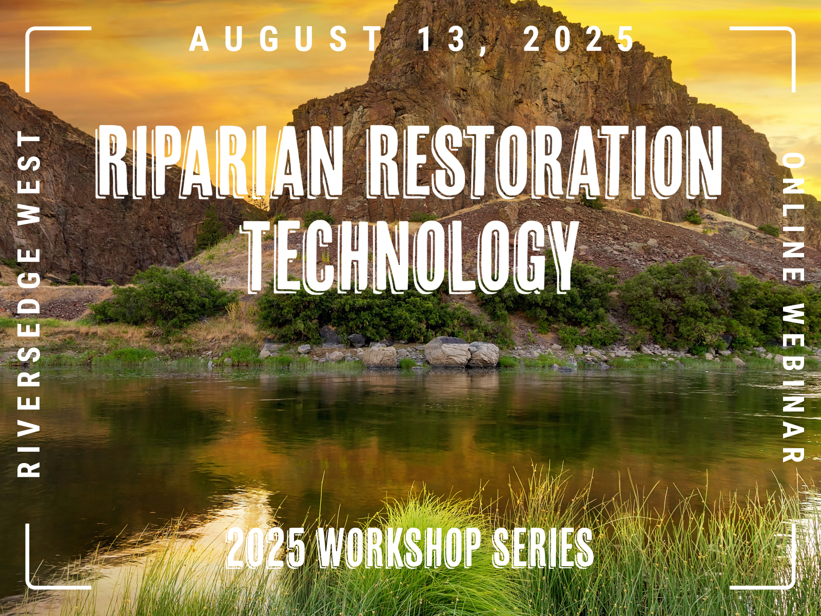
Riparian Restoration Technology Webinar on August 13!
Join RiversEdge West (REW) for a free interactive webinar! Explore cutting-edge technologies shaping the future of riparian restoration. This virtual workshop will feature insights into the use of GIS, satellite imaging, and other tools that enhance monitoring, planning, and decision-making for riparian ecosystems.
Watch a recording of the webinar here!
Speakers include:
Sara Larsen, Chief Executive Officer, OpenET
Emerging Applications of OpenET for Restoration and River Health
Evapotranspiration (ET) is a big part of how water moves through riparian and wetland systems, but it’s not easy to track—especially over large areas and long timeframes. OpenET provides free, satellite-based ET data at field-scale resolution, opening the door for new ways to look at how water use changes with restoration, invasive species removal, and native revegetation. While riparian-focused applications are still in the early stages, this talk will explore how OpenET could support restoration planning, long-term monitoring, and a better understanding of water needs for healthy river systems.
Alicia Langton, Geospatial Ecologist, EcoloGIS
Restoration monitoring using high resolution imagery and QGIS Riverscapes Studio (QRiS)
Alicia Langton gives an overview of using the Riverscapes Studio (QRiS) plugin in QGIS for drone-based monitoring of riparian restoration projects. QRiS was developed by The Riverscapes Consortium, an international collaboration of researchers and practitioners dedicated to preserving the healthy functioning of riverscapes. QRiS provides a framework for creating, analyzing, and sharing riverscape monitoring over the life of a restoration project.
Danny White, Assistant Professor, Civil and Environmental Engineering, Colorado State University
The influence of riparian vegetation species composition on meandering river dynamics.
More Information Coming Soon!
